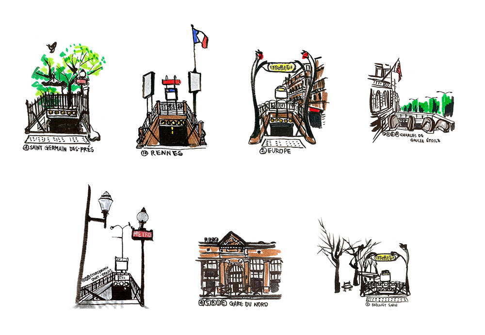
When I was in Paris, I wanted to see the city. Not only the popular places but place that aren't in tour guides. I gave up taking the metro and walked between stations instead. During this journey, I realized that even though the stations have regular designs, each station was very different from the surrounding area. I decided to draw all of them and make my own map of Paris. And here it is. Two hundred and sixty one stations in Paris and the path of my walking history. I still can feel the moment I arrived at each station. It was such a wonderful project to me.

selected drawings

Featured on Transit Maps. Click here to view.